GIS Map Solutions
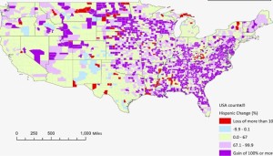
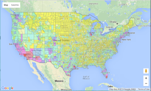
GIS: put your data on a digital map for a better decision making process. Maps are one of the most effective techniques for data visualization and analysis. We create interactive maps and appealing visualizations of your data on the web.

Maps on the cloud
We create weblinks for your maps making them available on the Internet. You can do queries and do specific searches. You can also post them in your own website.

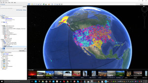
Online GeoMapping with Google Earth
We make your map accessible on the web using Google Earth. Your data will be available for anyone who has access to Internet. Users can see your outcome results and interact with your data.

Juan-Paulo (JP) Ramirez, Ph.D.
Founder, GIS Human Dimensions
“We are committed to offer you key services of excellence in geomapping, graphic visualization (i.e., interactive charts), and statistical analysis to make you more competitive in your professional field.”
Map & Chart Visualization Your Data on a digital map.
Maps are one of the most effective techniques for data visualization and analysis. We create interactive maps and appealing visualizations of your data on the web.
Continue Reading →
Grant Writing Get your project funded.
We use highly effective techniques to make sure that your grant application gets the value that it deserves. We have collaborated in getting grants successfully funded.
Continue Reading →
Program Evaluation Improve programs results
We help to assess what works and what it needs to be improved on a program, and how to get the expected results within a timely and cost/effective manner.
Continue Reading →